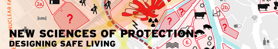


A Google Maps mash-up by Sydney-based design firm CarlosLabs looks at what nuclear explosions would do to cities all over the world. via bldgblog


Filed under: built_environment, disaster, distance, nuclear, proximities, radiation, weaponery | Leave a comment »


